Menu
Toggle navigation
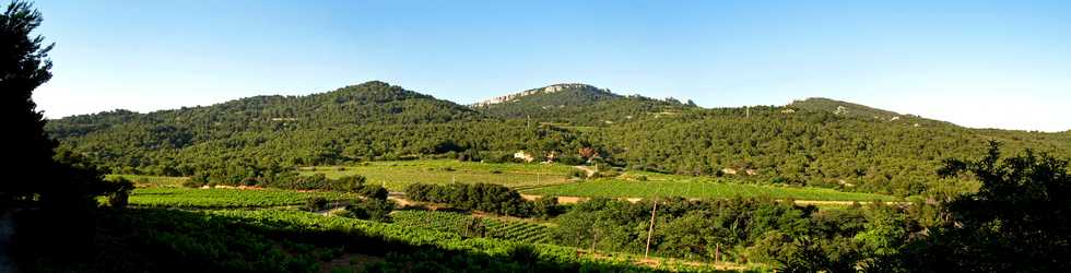
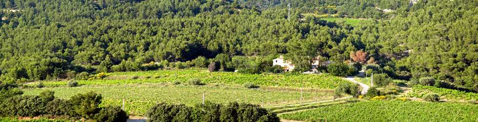
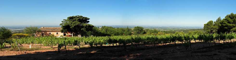
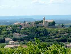
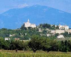
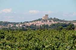
Les vignobles
La région est productrice de Grands Crus réputés, nous vous présentons les principaux mais au cours de vos visites vous découvrirez bien d'autres domaines viticoles.
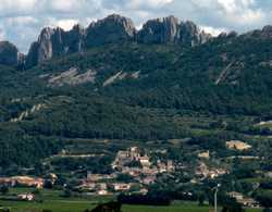
Gigondas
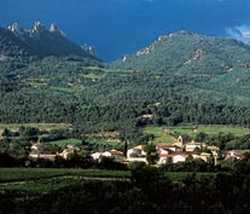
Vacqueyras
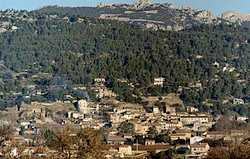
Beaumes de Venise
Rasteau
Cairanne
Châteauneuf du Pape

")
")
")